Everything You Need to Know to Hike the O Circuit
Learn from MT Sobek's Expert Patagonia Team how to Hike the O Circuit
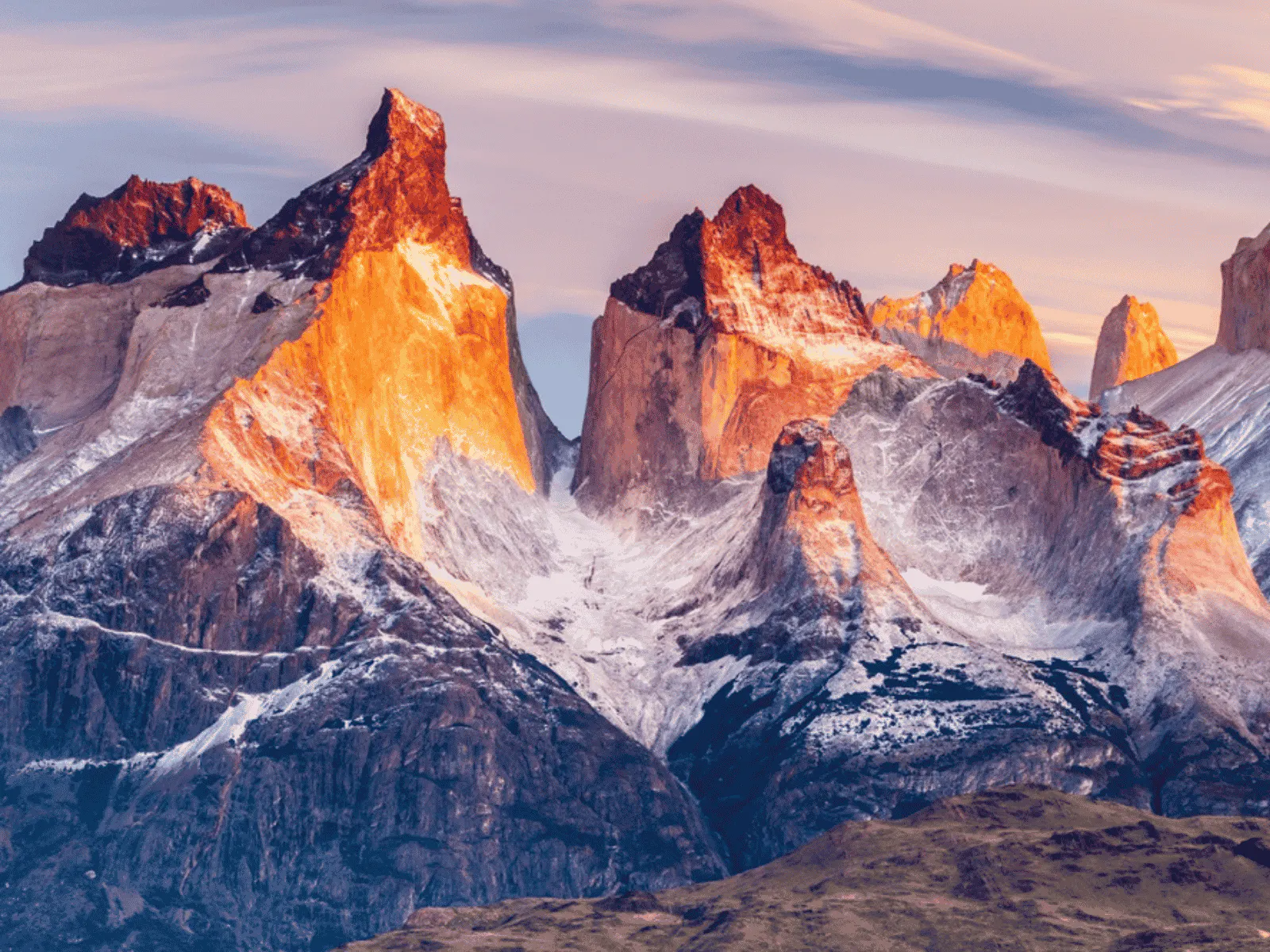
The relentless Patagonian wind races across the semi-arid steppe of southern Chile, ripping through golden grasslands and sweeping its way toward the jagged granite peaks of Torres del Paine National Park. Beyond the park’s famous viewpoints lies a quieter landscape—one shaped by glacier-fed rivers, ancient lenga forests, turquoise lakes, and rugged mountain passes where the trail can feel as wild as Patagonia itself.
Welcome to the Patagonia O Circuit.
Covering approximately 75 to 85 miles, this legendary backpacking route circles the entire Paine Massif before joining the classic W Trek. Along the way, it crosses the spectacular John Gardner Pass, overlooks the immense Grey Glacier, and ventures into a side of Torres del Paine that relatively few visitors experience.
While the W Trek introduces hikers to the park’s most iconic landmarks, the O Circuit reveals something different: the chance to experience the landscape in its entirety. Over 7 to 10 days, the scenery shifts from open grasslands and glacier-fed valleys to dense forests and exposed alpine terrain. Ultimately, the circuit returns to the granite towers that have made Patagonia famous.
Important Takeaways
- The O Circuit is all about endurance.
- This legendary backpacking route encompasses Torres del Paine’s remote northern section as well as its most iconic sights: the Torres del Paine towers, the French Valley, and the Grey Glacier.
- Knowing what to pack for Patagonia’s wild weather is essential.
- Waterproof rain gear is an absolute must!
- The O Circuit can be hiked independently or with a guide, but either way, planning is essential.

What Is the Patagonia O Circuit?
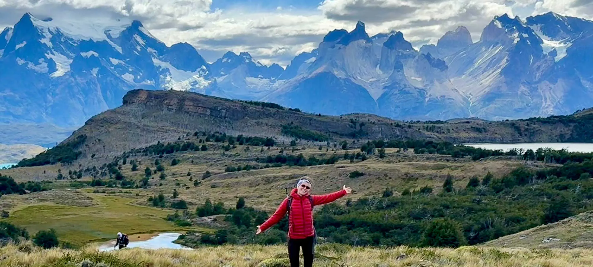
The Patagonia O Circuit is a multi-day backpacking route that completely encircles the Paine Massif, the dramatic mountain range at the heart of Chile’s Torres del Paine National Park. Beginning near the Las Torres sector, the route heads north into the park’s remote backcountry. It crosses John Gardner Pass, descends alongside Grey Glacier, and eventually reconnects with the W Trek for its final stretch.
Beyond the park’s busiest trails, the O Circuit follows glacier-fed rivers through dense lenga forests, crosses wooden suspension bridges, and passes brilliantly colored lakes that seemingly change with the shifting Patagonian light. The occasional rush of water, soft calls of songbirds, and an ever-present wind are often the only sounds you’ll hear. According to MT Sobek guide André Labarca, it’s this quieter northern half of the circuit that truly distinguishes the trek.
“When you’re in the park’s backside on the O Circuit, you have the opportunity to be more alone.”
— André Labarca, mt sobek guide
Because everyone hikes in the same counterclockwise direction, you’ll often start to recognize familiar faces at refugios (mountain lodges) and campsites. Labarca describes it as “a longer, more communal mountain experience—almost like a pilgrimage.”
After several days in the remote wilderness, the trail eventually merges with the classic W Trek, known for legendary landmarks like the French Valley and the Torres del Paine towers. Once here, it’s a whole new experience.
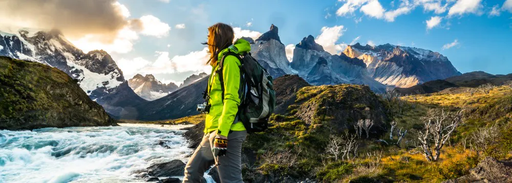
The O Circuit Route: Section by Section
There are many ways to hike the O Circuit, in terms of duration, layover days, where you stay and more. Strong hikers can finish the route in seven or fewer days; however eight to nine trekking days is much more typical, while longer itineraries allow time to explore Grey Glacier or break up the more arduous sections of the trek. Campsite and refugio reservations also influence where each day ends—the earlier you book, the more flexibility you will have in designing your perfect trip.
The sections below are divided into parts of the trail rather than a day-by-day itinerary because how you approach the route can vary. One disclaimer about the numbers: mileage can vary by source, so below are the figures MT Sobek goes with based on our research and calculations.
Las Torres to Serón
~9 miles | 1,100 feet gain | 1,700 feet loss
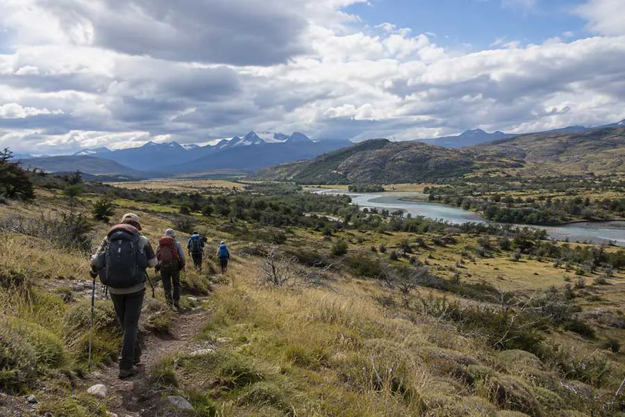
Most O Circuit treks begin at the Torres del Paine Welcome Center. The first leg feels like a warm up. After Las Torres the route bends north and begins wrapping around the eastern side of the Paine Massif. The hiking rolls you through grasslands and lenga forests, with the Paine River below as the trail snakes toward Serón.
Right off the bat the O begins separating itself from the W. The roads, buses and day hikers around Las Torres disappear quickly. By the time you reach Serón, you’re committed to the circuit and headed for the much less visited northern side of the Paine Massif.
MT Sobek Itinerary: we cover this section in about four to five hours and we measure it at 9 miles, with 1,083 feet of climbing and 1,742 feet of descent.
Serón to Dickson
~11.5 miles | 1,200 feet gain | 1,000 feet loss
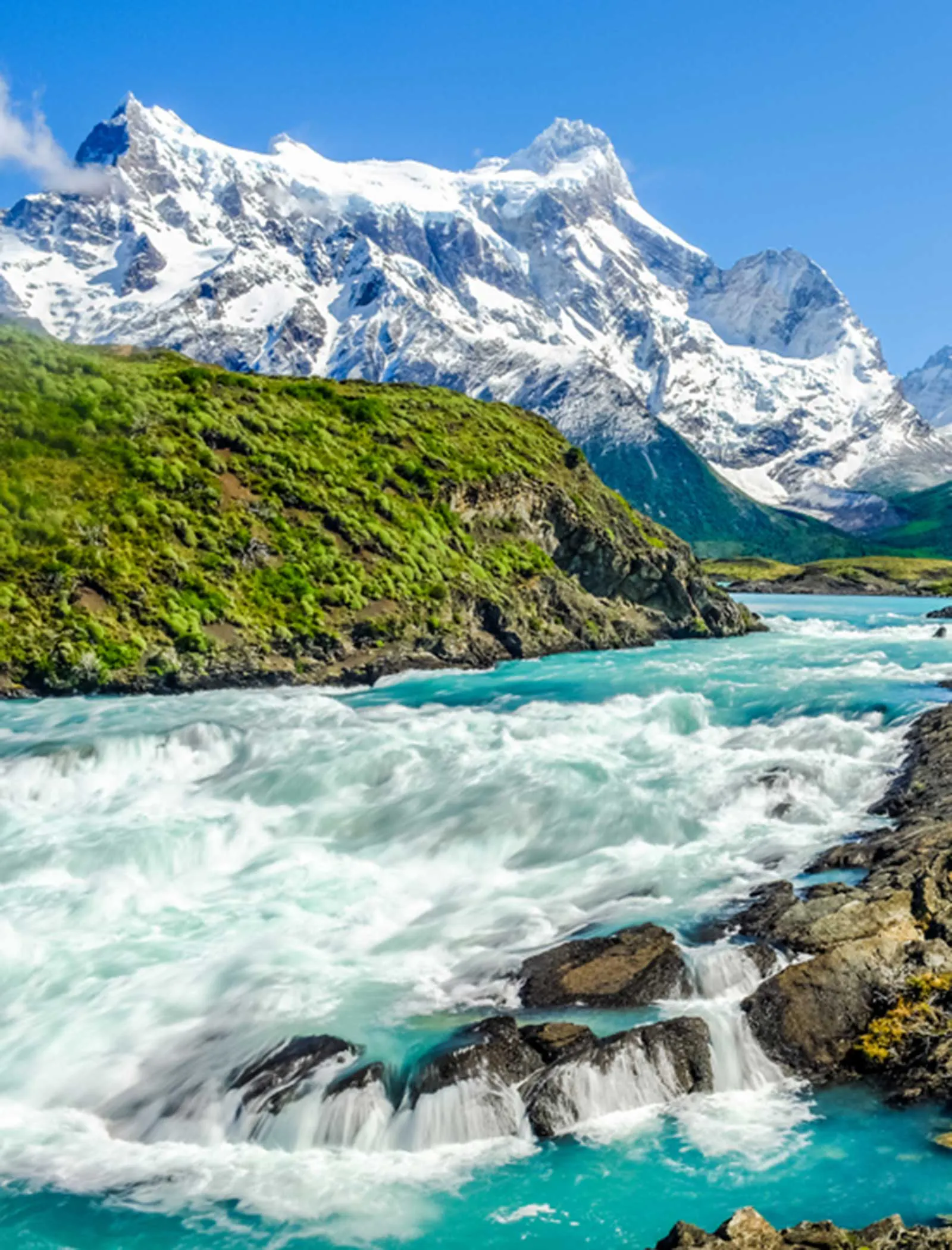
This is a longer hike, but not yet one of the O Circuit’s most challenging ones. The trail takes you along the Paine River through meadows and increasingly grand mountain scenery as you work your way deeper into the northern part of Torres del Paine.
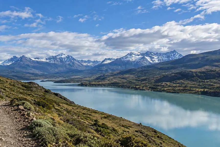
Lake Paine appears, followed a while later by the first views of Lago Dickson. The setting at Dickson is dramatic: the blue waters of the lake, the looming glacier and towering mountains converge in what is the first location that feels noticeably remote.
MT Sobek Itinerary: we allow roughly six to eight hours for the 11.5-mile section, with about 1,175 feet of elevation gain and 978 feet of descent.
Dickson to Los Perros
~8 miles | 1,700 feet gain | 500 feet loss
In this section you trade off lower mileage for more elevation gain. Leaving Lago Dickson, the hike enters lush southern beech forest and parallels the Los Perros River toward its headwaters. Views of glaciers begin poking through breaks in the trees. Eventually the forest fades away and you enter a moraine landscape, where the trail hits a glacial lake below Los Perros Glacier.
Most groups stop here rather than trying to cover more miles before the hardest and most consequential day of the entire O Circuit.
MT Sobek Itinerary: our route covers about 8 miles in five to six hours, gaining approximately 1,680 feet while losing only about 528 feet.
Los Perros over John Garner Pass to Grey
~11 miles | 2,000 feet gain | 3,900 feet loss
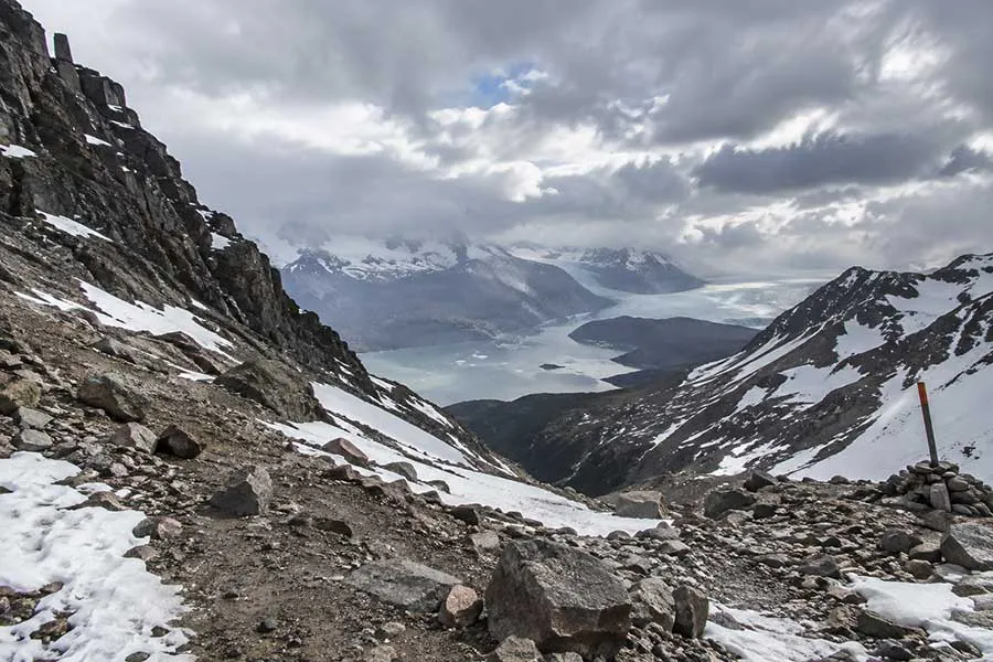
This is the day MT Sobek guests rave about the most! It’s recommended to leave Los Perros early. The hike climbs through forests before popping out above treeline onto rugged, exposed alpine terrain. The trail winds its way up through a glacial valley and onto the famous John Garner Pass, the high point of the circuit at approximately 4,000 feet. (It was below John Garner Pass where the tragic storm of November 2025 took the lives of five hikers.)
The elevation is low by most mountain standards, but you are so far south that the exposure is what matters. Patagonia can deliver fierce wind, rain, snow and rapidly changing visibility here, sometimes all within a few hours.
From John Garner Pass, you can see Grey Glacier below, flowing from the Southern Patagonian Ice Field toward Lago Grey.
The trail then loses nearly 4,000 feet as you descend alongside Grey Glacier, dipping back into forests and crossing multiple suspension bridges over deep ravines before finally reaching Refugio Grey.
MT Sobek Itinerary: we estimate eight to ten hours for this 11-mile stage, with 1,970 feet of climbing and 3,940 feet of descent.

Grey to Paine Grande
~7.5 miles | 1,200 feet gain | 1,200 feet loss
From here onward, you are in essence hiking the W Trek. The trek follows Lago Grey through country that undulates between forest and rocky, exposed terrain, repeatedly climbing and descending. Grey Glacier is still visible behind you for much of the early going before Lago Pehoé and the mountains around Paine Grande begin eclipsing the view.
MT Sobek Itinerary: we cover the 7.5 miles in approximately four hours, with about 1,200 feet of both climbing and descending.
Paine Grande through the French Valley
~12 miles on MT Sobek’s route | 2,800 feet gain | 2,800 feet loss
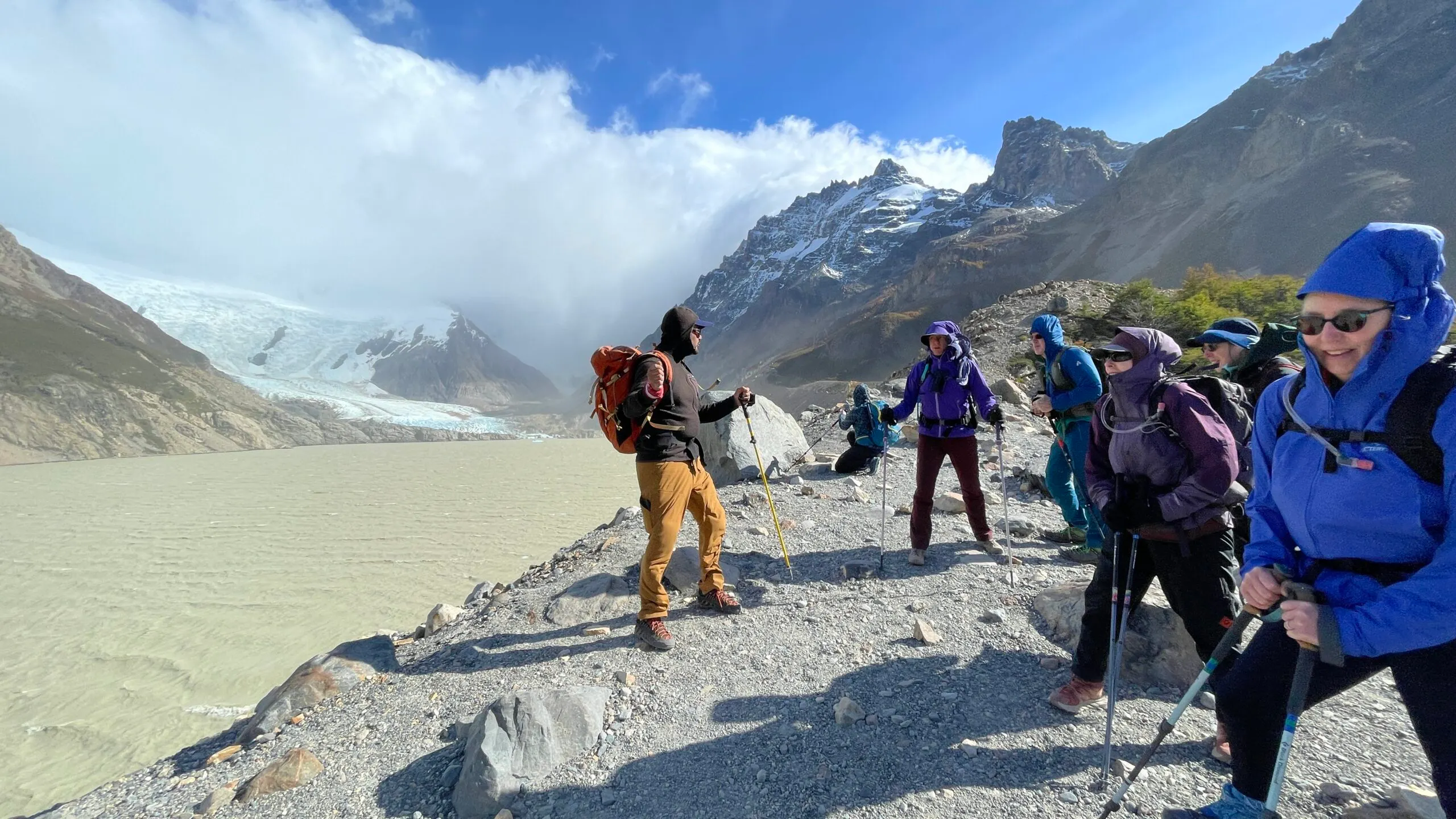
From Paine Grande, the hike passes Skottsberg and turns into the French Valley, climbing up into the heart of the Paine Massif. The trail passes beneath French Glacier and the immense walls of Paine Grande. Continuing toward Mirador Británico puts you inside a cirque surrounded by imposing granite peaks.
You can turn around low in the valley or go all the way toward Británico, which adds considerable mileage and elevation, increasing the difficulty.
MT Sobek Itinerary: we spend nine to ten hours hiking approximately 12 miles with 2,800 feet of gain and 2,800 feet of descent before continuing to cabins below the Cuernos.
The Cuernos and Lago Nordenskjöld to Chileno
~8.5 miles | 1,150 feet gain | 2,350 feet loss
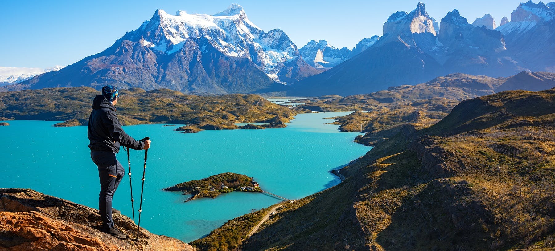
The trail swings you east beneath the Cuernos del Paine and follows the stunningly blue waters of Lago Nordenskjöld. The landscape here is made up of open slopes, forests, glacial water and the black-topped granite horns exploding almost directly overhead.
After several hours, the route leaves the lakeshore and turns into the Ascencio Valley.
MT Sobek Itinerary: Instead of continuing all the way back to Las Torres, we position ourselves farther up the valley for the final hike to Base Torres, hiking 8.5 miles to Chileno. For the day we have 1,148 feet of gain and 2,352 feet of loss, with about five hours on the trail.
Chileno to Base Torres and back to Las Torres
~10 miles | 2,300 feet gain | 3,200 feet loss
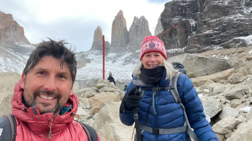
From Chileno, the trail climbs through the Ascencio Valley before reaching the steep, bouldery final approach to Mirador Base Torres. At the top, a small glacial lake sits immediately below the three iconic granite towers that give the national park its name.
From the viewpoint, you will hike back down the Ascencio Valley all the way to the Las Torres trailhead. The circle around the Paine Massif is complete!
MT Sobek Itinerary: Many groups hike to the famous viewpoint during the day. We leave before dawn instead, hiking by headlamp to reach Base Torres around sunrise. It’s approximately 10 miles and seven hours, with 2,300 feet of climbing followed by 3,200 feet of descent.

What Sets MT Sobek’s O Circuit Apart
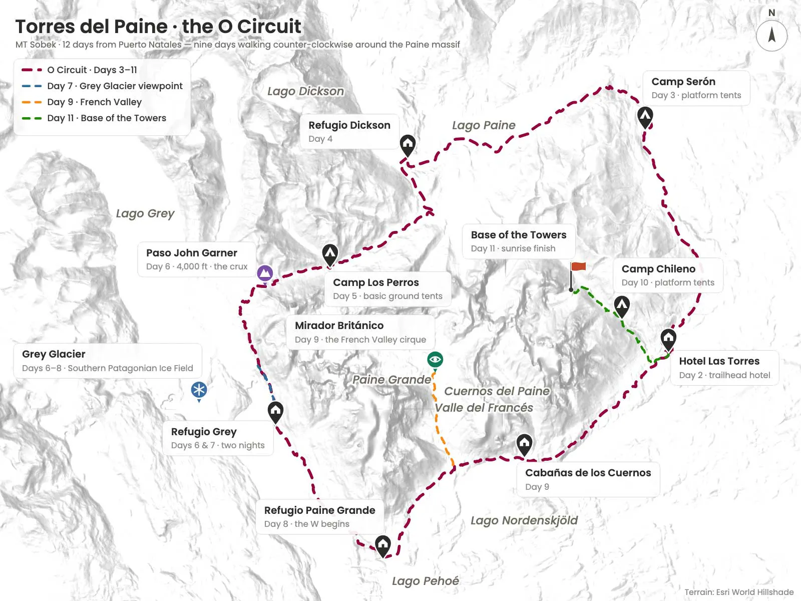
Our O Circuit adventure is 12 days long, with nine days and eight nights spent on the trail. Our itinerary follows the natural progression around the massif—Serón, Dickson, Los Perros, John Garner Pass, Grey, then into the standard W Trek with Paine Grande, the French Valley, Cuernos, and finally the Ascencio Valley to Base Torres.
The difference of our approach starts before the trekking even begins. Guests spend a night in Puerto Natales and then another night at Hotel Las Torres near the start of the O Circuit, with an introductory hike in the park before heading into the backcountry. This first hike gives everyone an opportunity to get their legs under them and sort out gear before eight consecutive nights on the trail.
The biggest differentiating factor from a common O Circuit itinerary comes after John Garner Pass. Instead of reaching Grey after the hardest day of the trek and immediately moving on, we include a layover day. The next day offers a chance to spend time along Lago Grey and an opportunity to recover. Those who want more can add kayaking or a glacier hike. Guests rave about this extra day! It allows you to actually enjoy where you are and soak up the majesty of the Grey Glacier area.
There’s another crucial difference we add, which is porter support. Guests don’t have to shoulder everything required for an eight-day backpack. Particularly on the camping nights, this addition is a game-changer.
MT Sobek’s History on the O Circuit
Mountain Travel co-founder Leo LeBon first visited the Patagonia region in the early 1970s. In his own account, he remembers a very different Torres del Paine—few maps, rough terrain, thick vegetation, difficult river crossings and very essentially zero tourism.
The route that eventually became the O began taking shape in 1976, when park rangers Pepe Alarcón, Oscar Guineo and English mountaineer John Garner pioneered a route over what became known as Garner Pass.
LeBon returned in 1985 and joined Alarcón to make a complete circuit around the Paine towers. They became only the second party to cross Garner Pass. This wasn’t the world famous, maintained trek that it is today.
As LeBon later wrote about descending from the pass: “The descent from the pass was another story!” He describes working through deep ravines, thick understory and fallen beech trees simply to make forward progress. Today, hikers descend on an established trail and cross suspension bridges through this same landscape.
Two years later, in 1987, Mountain Travel began operating trekking trips in Patagonia after LeBon worked with local park rangers to develop the company’s trekking and logistical plans.
Is the Patagonia O Circuit Worth It?
For hikers with the time and fitness to complete it, the Patagonia O Circuit offers a deep and rewarding look at Torres del Paine.
This longer, more thorough hike offers the chance to visit a side of the park that feels remarkably untouched. The northern backcountry receives far fewer visitors than the W Trek, and the O Circuit’s slower pace allows the landscape to unfold gradually. One day you’re traversing broad valleys carved by ancient glaciers; the next you’re climbing through moss-covered forest into Patagonia’s rugged alpine terrain.
Then there’s John Gardner Pass. At 3,940 feet in elevation, it’s one of the defining moments of the circuit. From here, you’ll see the Grey Glacier stretching toward the Southern Patagonian Ice Field in an almost unbroken expanse of blue ice.
As an added bonus, The Chilean National Forest Corporation (CONAF) limits the number of entries to the O Circuit to roughly 70 to 100 hikers daily. This helps preserve the remote character of the northern route before rejoining with the busier W Trek.
How Difficult Is the Patagonia O Circuit?
The Patagonia O Circuit is widely considered more demanding than the W Trek, but it’s not technical. Instead, the “O” is all about endurance.
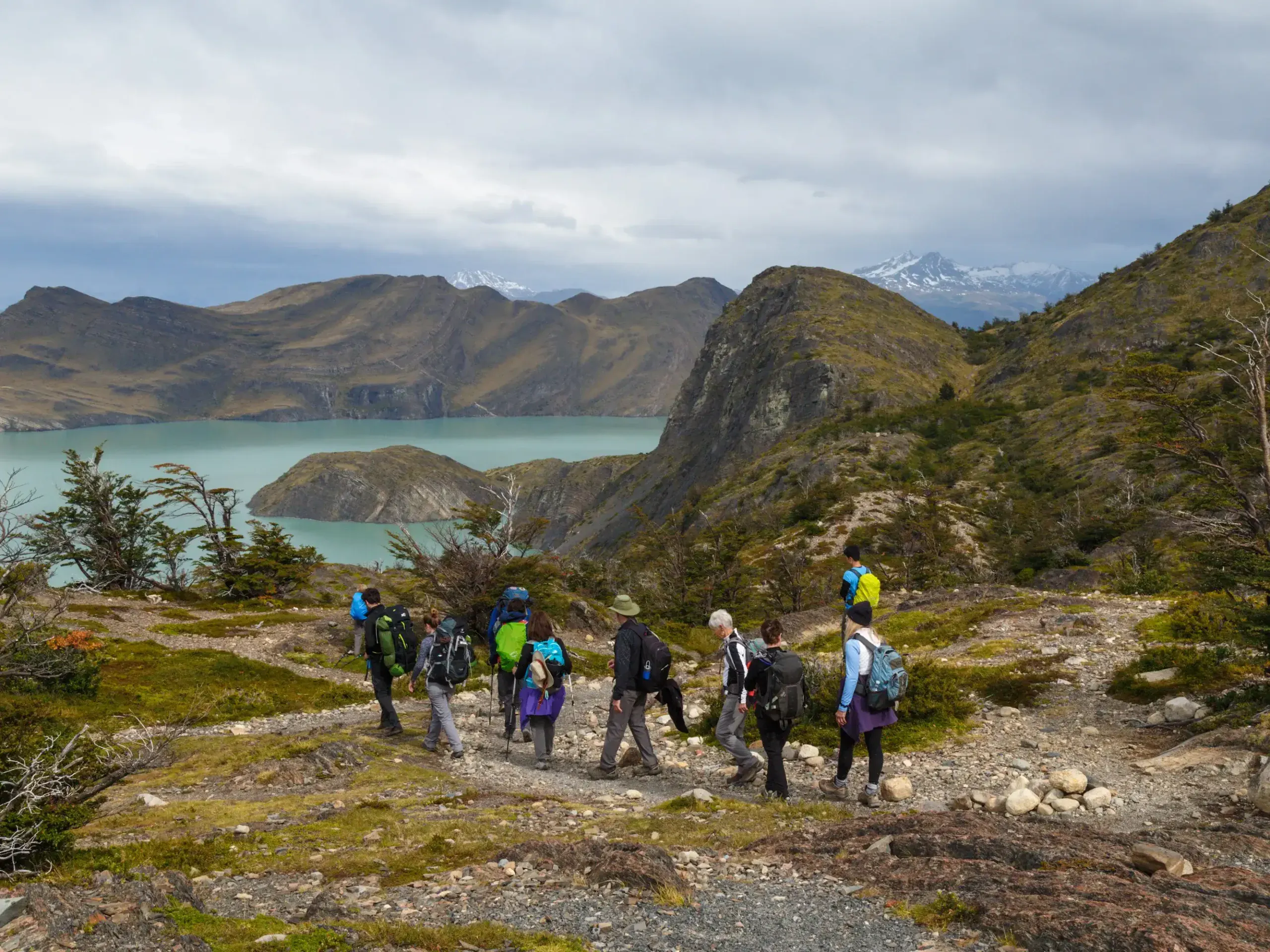
Most days involve 6 to 10 hours of hiking over uneven terrain, often while carrying a fully loaded backpack. Consecutive long days, changing (and often challenging) weather, and the route’s remoteness all combine to create a trek that requires hikers to be prepared.
The most demanding section is the climb over John Gardner Pass. Its 3,940-foot elevation may not seem especially intimidating but according to MT Sobek Patagonia guide Rodrigo “Ro” Bahamóndez, many hikers underestimate the pass because the surrounding landscape begins so close to sea level. As the trail climbs, it quickly leaves the shelter of the forest behind.
“By 2,700 feet you’re basically at the tree line, so you’re going into alpine terrain where conditions are completely different. Weather at that elevation can be a problem.”
— Rodrigo “Ro” Bahamóndez, MT Sobek guide
Strong winds are part of everyday life in Torres del Paine, and sunshine can quickly give way to rain, sleet, or even snow. It’s this unpredictability—rather than altitude—that can make the O Circuit especially challenging for some. However, hikers with solid fitness and previous multi-day backpacking experience are considered well-equipped to handle it.
Best Time to Hike the Patagonia O Circuit
The Patagonia O Circuit is open only during the Southern Hemisphere’s summer, generally from early November through March. Throughout winter, snow and severe weather can make John Gardner Pass impassable, closing the circuit for the season.
Each month that the “O” is open offers a slightly different experience. November brings fewer crowds and crisp spring conditions, while December through February provides the longest daylight hours and the warmest temperatures, though these months are generally much more crowded. By March, the lenga forests begin their autumn shifts into shades of red, orange, and gold, and visitor numbers gradually taper off.
Remember, Patagonia’s weather remains famously unpredictable whatever the time of year. Sunshine, powerful winds, heavy rain, and even snow can all arrive within the same day, making it essential for hikers to carry layers and waterproof gear at all times.
Refugios vs. Camping on the Patagonia O Circuit
Where you sleep each night shapes the experience almost as much as the trail itself.
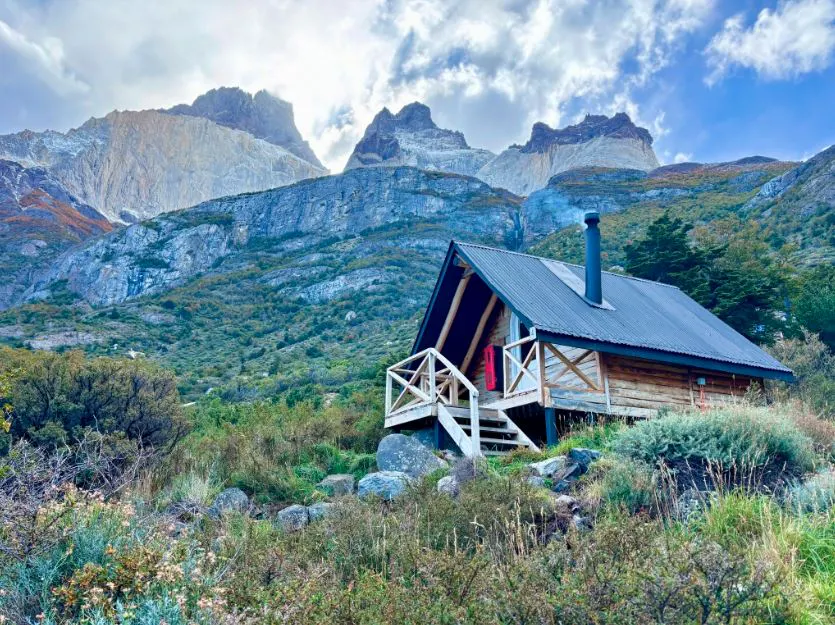
Like the W Trek, the Patagonia O Circuit offers a mix of refugios (mountain lodges) and designated campsites, allowing you to tailor the journey to your comfort level, budget, and backpacking experience. The difference is that the northern half of the circuit feels considerably more remote, and the facilities reflect that.
Refugios provide the greatest level of comfort on the trail. Most feature dormitory-style bunk rooms, shared bathrooms, hot showers (availability can vary), and dining rooms serving up both dinner and breakfast. After a long day of hiking through Patagonia’s ever-changing weather, a warm meal and a real mattress can feel like a luxury.
Camping offers its own kind of reward, and spending evenings beneath some of the clearest night skies in Patagonia is a big part of that worthwhile experience. Campsites include basic facilities like toilets and cooking shelters, though amenities become more limited in the northern backcountry. Some camps also offer fully equipped rental tents, sleeping bags, and sleeping pads, making it possible to enjoy the camping experience without carrying all of your own gear.
Many hikers choose a combination of both, camping for much of the circuit while reserving a refugio after crossing John Gardner Pass or before the final climb to the Base of the Towers. The mix allows for a bit of comfort without sacrificing adventure.
Ultimately, camping is the way to go for a classic backpacking experience, while if you’d rather travel a little lighter and end the day with a warm bed, refugios may be well worth it.
Guided vs. Unguided
One of the most common questions when planning the Patagonia O Circuit is whether it’s worth hiring a guide.
The answer depends less on the trail itself and more on the kind of experience you’re hoping for. The O Circuit is generally well-marked and frequently traveled during the open season. Experienced backpackers regularly complete the circuit independently, enjoying the freedom to move at their own pace while carrying everything they need in their backpacks.
However, a guided trek offers something different. Rather than focusing on logistics, you can spend more time appreciating the landscape while campsite reservations, meals, transportation, and daily planning are all arranged for you. In addition, local guides often provide insight into the park’s wildlife, geology, ecology, and history—details that are easy to overlook when you’re too busy navigating the trail.
“The reason to go with a guide isn’t just navigation. We know the best timing, where it’s worth stopping, and we can explain the local flora and fauna as we go.”
— Rodrigo “Ro” Bahamondez, MT Sobek guide
On the O Circuit, a guide’s role, explains Bahamóndez, is not only helping visitors understand what they’re seeing, but also to show them why Torres del Paine is such an extraordinary place.

Food & Meals on the Patagonia O Circuit
Good food is one of the highlights of any multi-day trek.
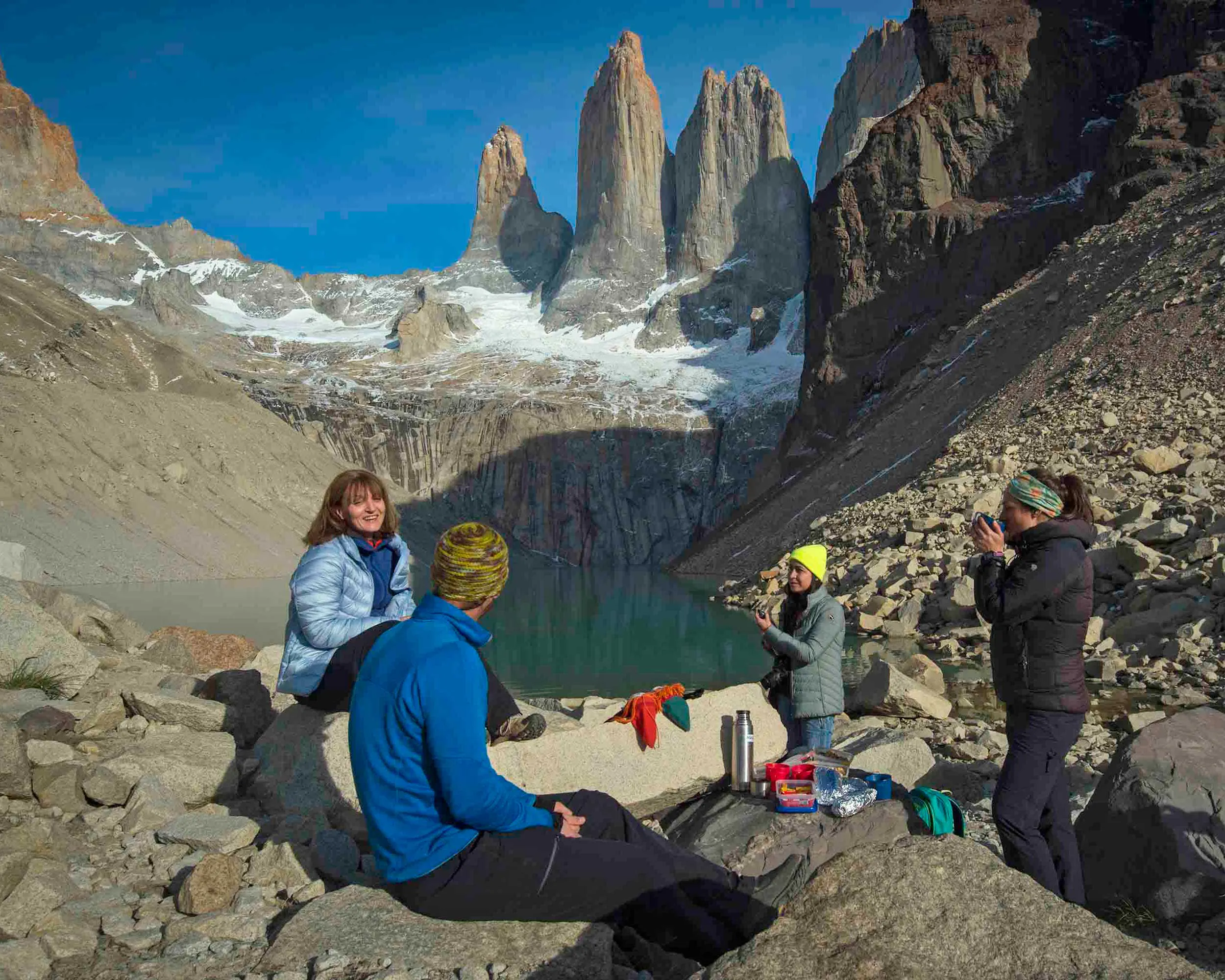
While hikers camping independently often carry lightweight backpacking meals, such as instant oatmeal, pasta, and plenty of high-energy snacks, both campers and those staying in refugios can simplify things by reserving meal packages in advance. Most refugios offer breakfast, dinner, and packed lunches for the following day’s hike. These packages increase the overall cost of the trek, but they also reduce the weight of your backpack and eliminate the need to cook after a long day on the trail.
Before you head out on the trail, consider when and where there are opportunities to purchase food and plan accordingly. Have extra snacks on hand for the O Circuit’s more challenging and remote stretches. If you are self-catering, devise your meal plan beforehand so that you’re adequately prepared.
Can You Drink the Water?
Throughout the O Circuit you’ll frequently cross glacier-fed streams and rivers. The water is exceptionally cold, remarkably clear, and, in many places, safe enough that experienced hikers routinely drink it straight from fast-moving streams.
Still, an added layer of protection is always a good idea. Carry a lightweight filter or purification tablets as a sensible precaution, particularly when collecting water near campsites or heavily trafficked areas. And always opt for water from flowing streams rather than standing pools.
Patagonia O Circuit Packing List
Packing for the Patagonia O Circuit is remarkably similar to preparing for the W Trek, but the longer distance and more remote setting make a few items even more important.
Reliable waterproof gear tops the list. Patagonia’s weather is famously unpredictable, and it’s not unusual to experience sunshine, powerful winds, rain, and even snow in the span of a single afternoon. A quality rain jacket, waterproof pants, and sturdy hiking boots are essential rather than optional.
Layering is equally as important. Moisture-wicking base layers, an insulating mid-layer, and a warm jacket allow you to adapt quickly as temperatures change throughout the day. Hats, gloves, and extra socks are key, particularly during windy mornings and evenings around camp.
Other indispensable items include trekking poles for the long descents from John Gardner Pass, a headlamp, sunglasses, sunscreen, a portable power bank, a small first-aid kit, and plenty of high-energy snacks.
Hikers planning to camp independently will also need backpacking equipment, including a tent, sleeping bag, and sleeping pad. While you can still book full-board or half-board meal plans at most refugios and campsites, certain remote camps (like Los Perros) have very limited or no kitchen services. You’ll have to pack food for those specific segments.
Final Thoughts
The Patagonia O Circuit isn’t simply a longer version of the W Trek—it’s a journey into the quieter, wilder side of Torres del Paine National Park.
Over the course of your trek, the trail reveals landscapes that many visitors never see, from glacier-fed valleys and ancient forests to the unforgettable panorama atop John Gardner Pass. By the time the “O” reaches the park’s most iconic viewpoints, the journey feels less like a collection of scenic stops and more like the culmination of a true expedition.
It demands more planning, more endurance, and more time than the W Trek, but for hikers seeking a deeper connection with Patagonia’s extraordinary landscapes, the O Circuit more than rewards.
Explore MT Sobek’s Patagonia adventure travel tours.
Enjoying our content? Add MT Sobek as a Google Preferred Source.

FAQs
The total cost of hiking the Patagonia O Circuit varies depending on how you choose to experience it.
Independent hikers who camp and prepare their own meals will generally spend the least, while staying in refugios or joining a guided trek increases the overall cost. In addition to accommodations, it’s important to budget for the Torres del Paine National Park entrance fee, transportation to and from the park, meals, and any gear rentals you may need.
Planning ahead is essential.
Accommodations along the circuit are managed by multiple operators, meaning reservations are usually made through separate booking systems rather than a single website. During Patagonia’s peak hiking season—particularly from December through February—refugios and campsites can sell out months in advance.
If coordinating reservations across multiple providers feels overwhelming, guided trekking companies like MT Sobek arrange all accommodations, transportation, and meals as part of the overall package. This makes the planning process considerably simpler.
The route is best suited to hikers with previous backpacking experience or those who maintain a good level of physical fitness. While it doesn’t require technical climbing skills, consecutive long hiking days, changing weather, and carrying a backpack make it considerably more demanding than many first-time trekkers expect.
The circuit is hiked counterclockwise. This requirement helps manage trail traffic and ensures hikers cross John Gardner Pass from the safest direction.
Yes. The Patagonia O Circuit is longer, more physically demanding, and more remote than the W Trek. It requires greater endurance, but the quieter trails and additional scenery are exactly what many hikers find most rewarding.
Yes. Many hikers complete the trek while staying in refugios each night, while others combine refugios with camping. The best option depends on your budget, comfort level, and accommodation availability.
No. The trail is well marked, and many experienced hikers complete the circuit independently. A guide isn’t necessary for navigation, but they can provide valuable insight into the park’s geology, wildlife, history, and ecosystems while taking care of the logistics.
Learn More About Adventure Travel in Patagonia


